®
SHIPSPOTTING.COM
WELCOME TO SHIPSPOTTING.COM
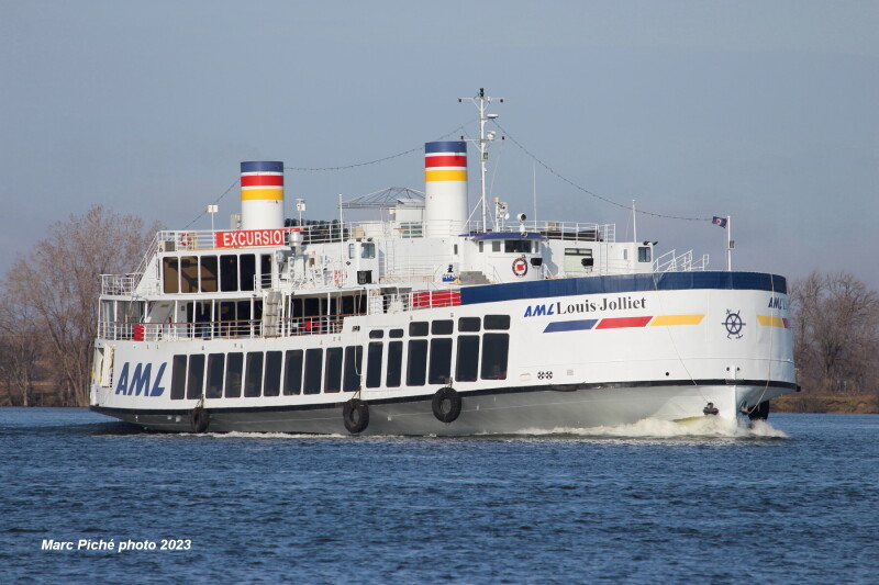
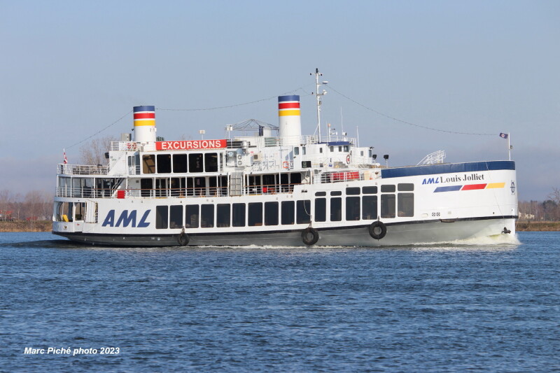
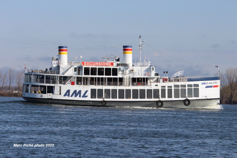
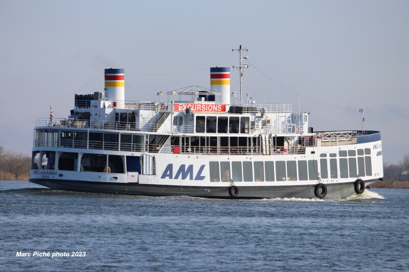
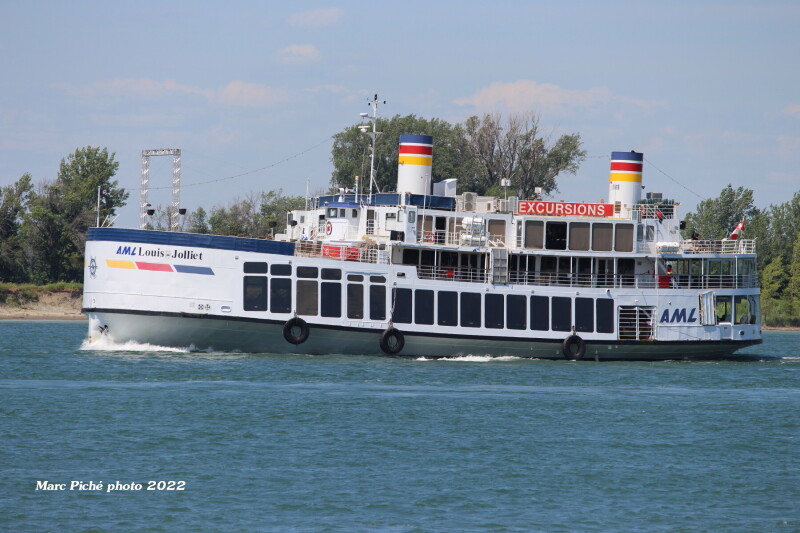
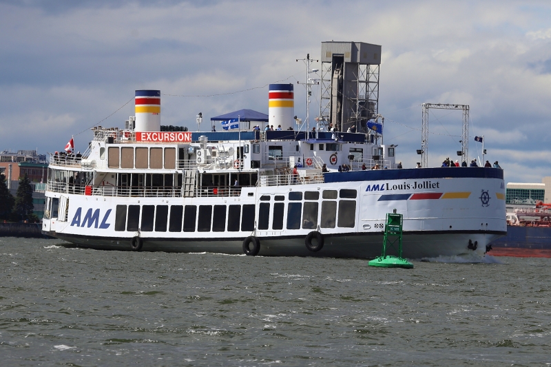
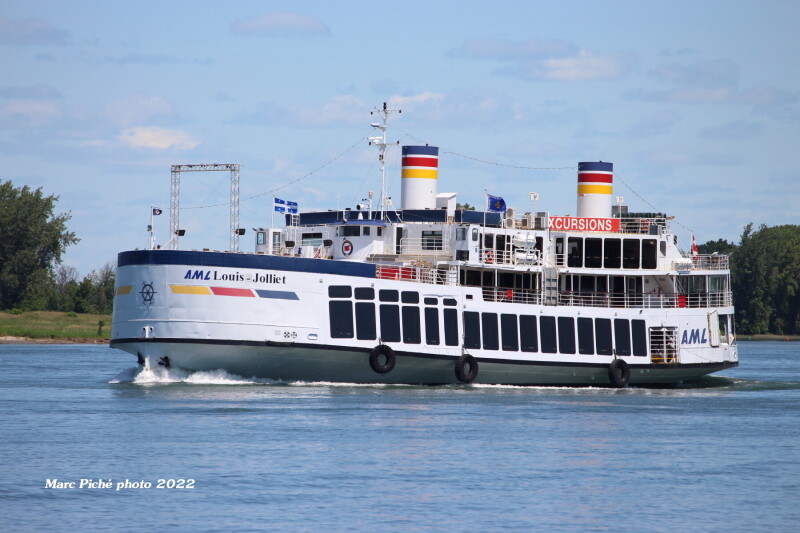
LOUIS JOLLIET - IMO 5212749

Photo
details
Photographer:Christian Krajewski [ View profile ]
Captured:Jul 16, 2011
Title:Louis Jolliet
Photo Category:Inland Passenger Vessels/ferries
Added:Aug 5, 2011
Views:890
Image Resolution:3,001 x 1,820
Description:
Québec city excusion vessel. Upbound off Verchères. Louis Jolliet (1645-1700). French Canadian explorer. He was the first European to explore and map much of the Missipi river.
Vessel
particulars
Current name:LOUIS JOLLIET
Callsign:VA7153
IMO:5212749
MMSI:316013356
Build year:1938
Builder:Davie Yards - Levis, Canada
Manager:Aml - Quebec, Canada
Owner:Aml - Quebec, Canada
Vessel Type:Passengers Ship
Gross tonnage:2,112 tons
Length:50 m
Beam:22 m
AIS Position
of this ship
Last known position:45°30’11.55” N, 73°33’4.19” W
Status:
Speed, course (heading):0kts, 345.1°
Destination:
- Location:Quebec
- Arrival:
Last update:about 1 hour ago
Source:AIS (ShipXplorer)
Photo
Categories
This ship exists in the following categories:
Harbour & tour boats / restaurant vessels - 7 photos
Inland Passenger Vessels/Ferries - 85 photos
Photographers
of this ship
(32)
3 photos
2 photos
21 photos
2 photos
1 photos
2 photos
1 photos
1 photos
6 photos
1 photos
1 photos
4 photos
1 photos
3 photos
1 photos
4 photos
1 photos
13 photos
3 photos
1 photos
1 photos
1 photos
2 photos
5 photos
1 photos
1 photos
4 photos
1 photos
1 photos
1 photos
1 photos
1 photos


COMMENT THIS PHOTO(0)