WELCOME TO SHIPSPOTTING.COM
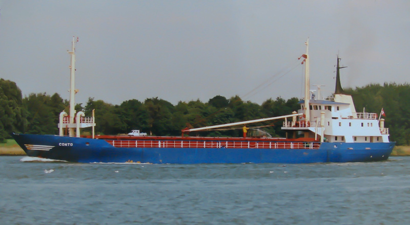
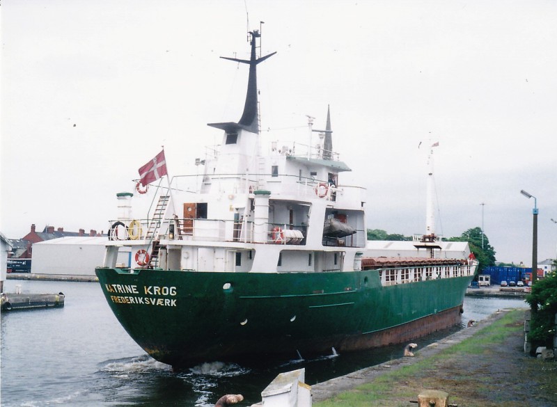
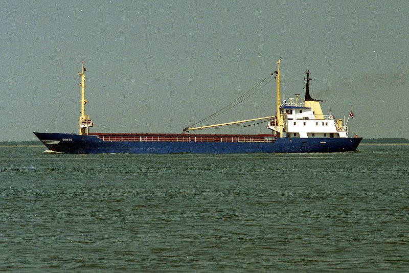
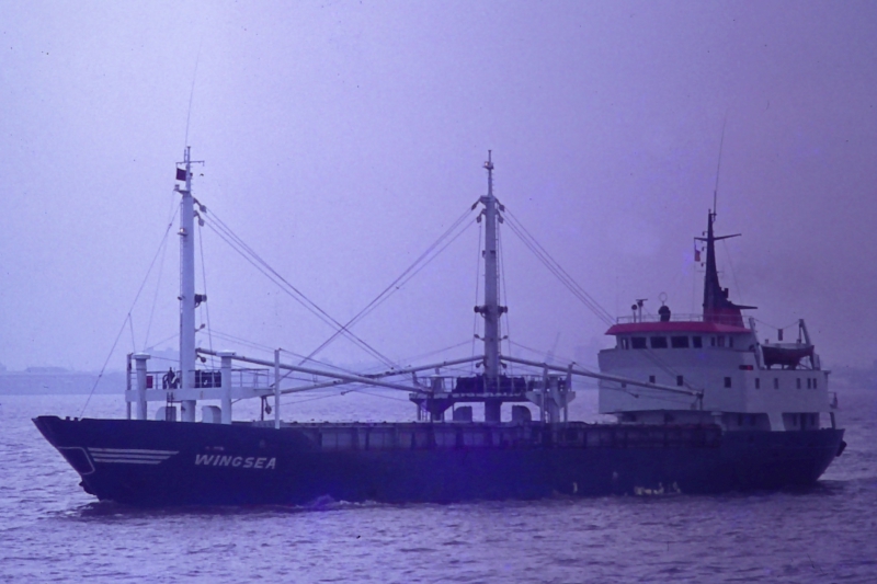
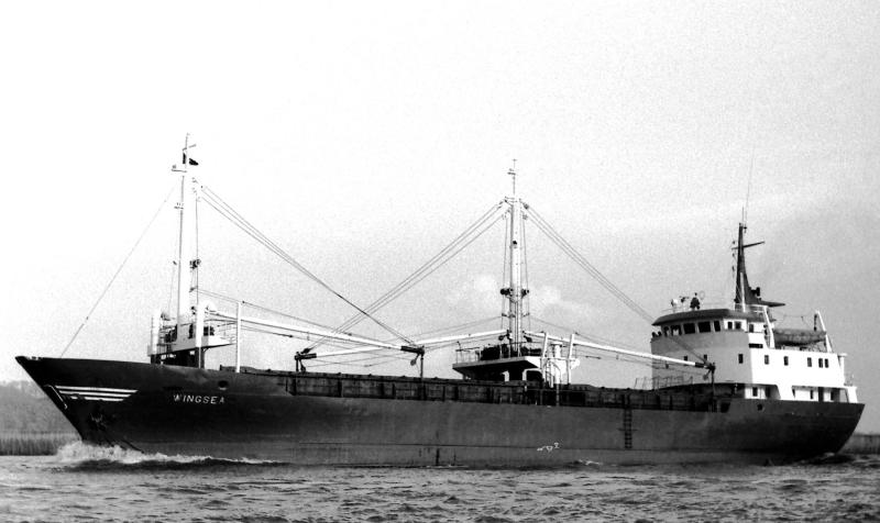
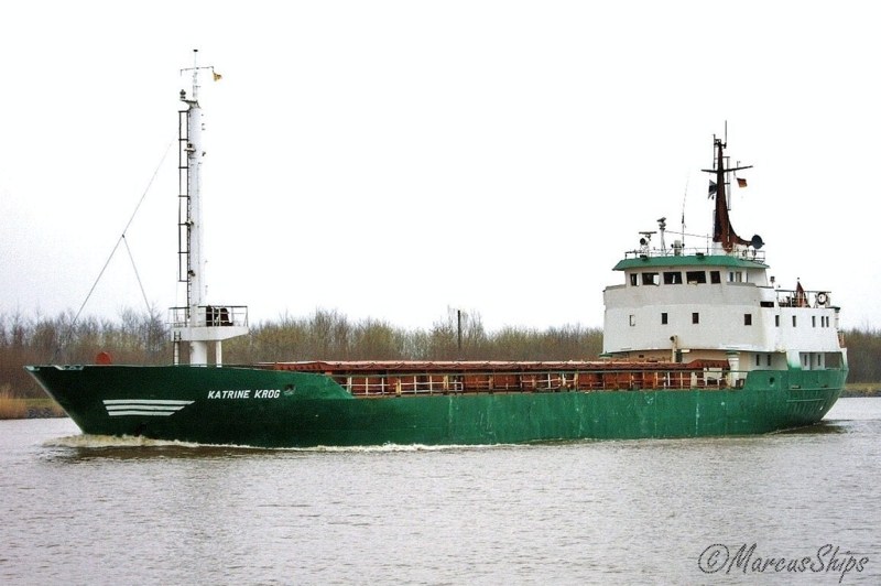
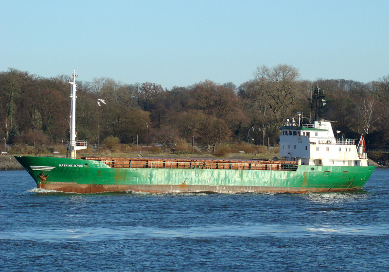
KATRINE KROG - IMO 6922779

Photo
details
Description:
Stranded at Jeremie (Haiti) 02 February 2012,
according local information, problems with start main engine due drifting during at anchor on 13 January 2012
Vessel
particulars
AIS Position
of this ship
There is no AIS Position Data available for this ship!
Would you like to add AIS Coverage?
 Add AIS Coverage
Photo
Categories
This ship exists in the following categories:
Casualties - 3 photos
Wrecks & Relics - 1 photos
General cargo ships including more than one ship - 1 photos
General cargo ships built 1960-1969 (Under 3000gt) - 64 photos
Photographers
of this ship
(35)
2 photos
1 photos
3 photos
1 photos
2 photos
1 photos
7 photos
1 photos
1 photos
1 photos
3 photos
2 photos
4 photos
3 photos
3 photos
1 photos
1 photos
6 photos
1 photos
1 photos
3 photos
2 photos
2 photos
2 photos
1 photos
1 photos
1 photos
1 photos
3 photos
1 photos
2 photos
1 photos
2 photos
1 photos
1 photos
More of
this ship(68)

COMMENT THIS PHOTO(1)
ABANDONED in Jeremie (Haiti)
The 65 meter long, 1170 dwt freighter Katrine Krog went aground off Jeremie, Haiti. The small freighter was at anchor when the anchor began to drag. The crew was unable to start its main engine before the vessel went aground. The vessel suffered damage to its hull and had water ingress into the holds. No reports of injuries. Two weeks later, reports show the vessel waterlogged with the main deck nearly awash. No word if any fuel was removed, but there is a strong possibility that pollution was released.
BUT THE SHIP WAS NOT SALVAGED, IT WAS ABANDONED.
LOCATION: 18°38'15.4"N 74°06'27.9"W
GOOGLE MAPS:
https://acortar.link/UHlzfc
SALUDOS!!!!
Edit
comment