®
SHIPSPOTTING.COM
WELCOME TO SHIPSPOTTING.COM
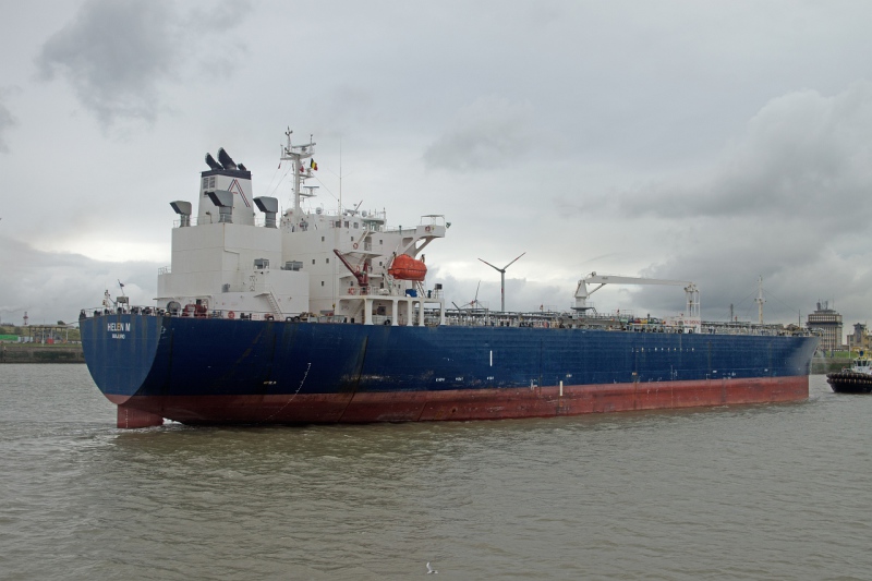
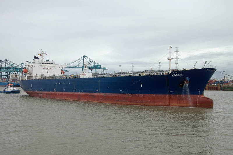
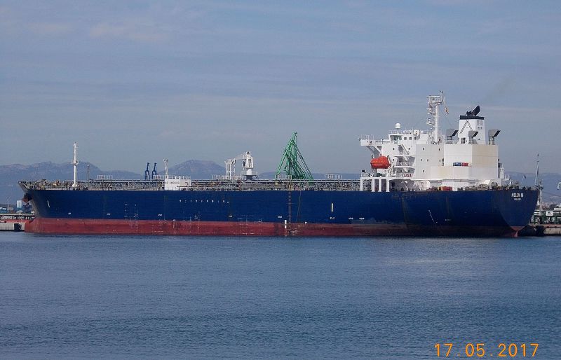
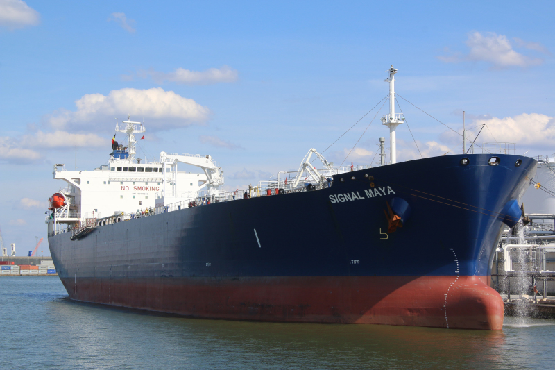
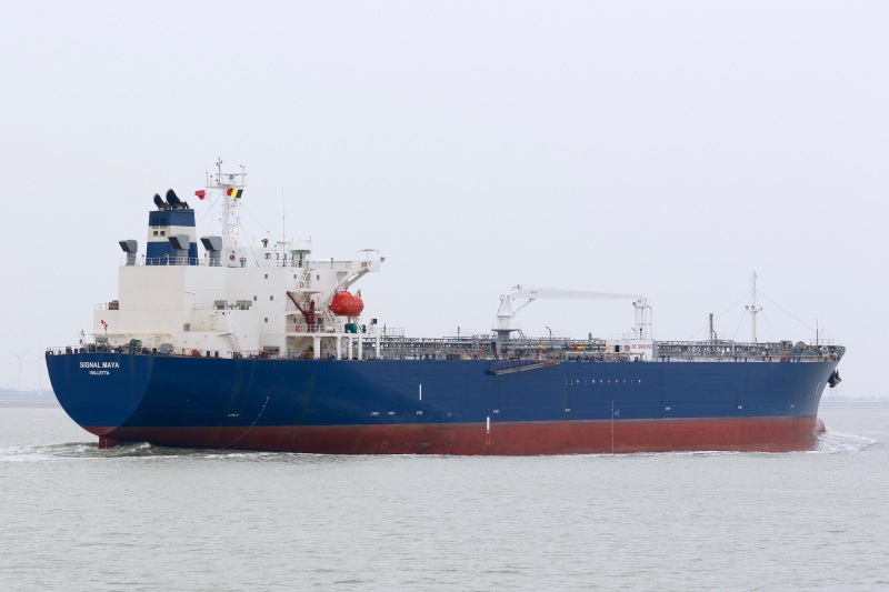
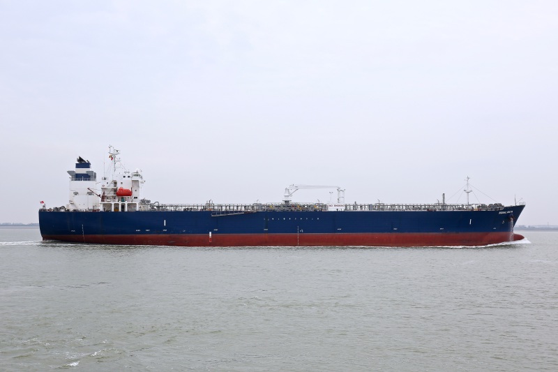
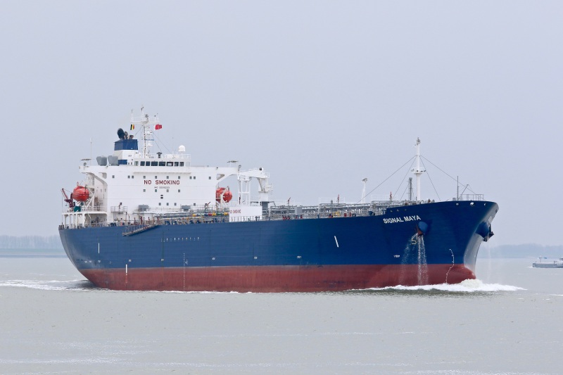
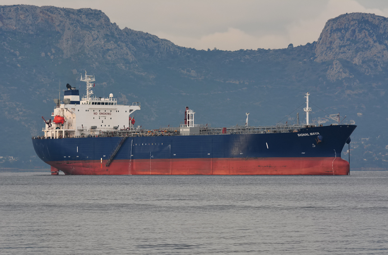
SIGNAL MAYA - IMO 9308223

Photo
details
Photographer:Thomas Dyrehauge [ View profile ]
Captured:Jan 10, 2015
Title:Signal Maya
Photo Category:Tankers Built 2001 - 2010
Added:Aug 25, 2015
Views:523
Image Resolution:2,962 x 1,665
Description:
SIGNAL MAYA anchored off Freeport, Bahamas.
AIS Position
of this ship
Last known position:17°34’23.22” N, 83°24’20.93” E
Status:
Speed, course (heading):0.1kts, 152.0° (207°)
Destination:
- Location:Vizag
- Arrival:16th Apr 2024 / 21:00:43 UTC
Last update:1 day ago
Source:AIS (ShipXplorer)
Photo
Categories
This ship exists in the following categories:
Tankers built 2001 - 2010 - 26 photos
Photographers
of this ship
(15)
2 photos
2 photos
4 photos
1 photos
1 photos
1 photos
1 photos
1 photos
2 photos
1 photos
1 photos
1 photos
2 photos
3 photos
3 photos
More of
this ship(25)

COMMENT THIS PHOTO(2)
Edit
comment
Edit
comment