®
SHIPSPOTTING.COM
WELCOME TO SHIPSPOTTING.COM
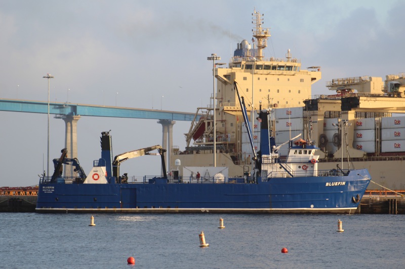
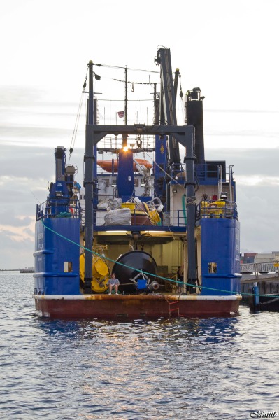
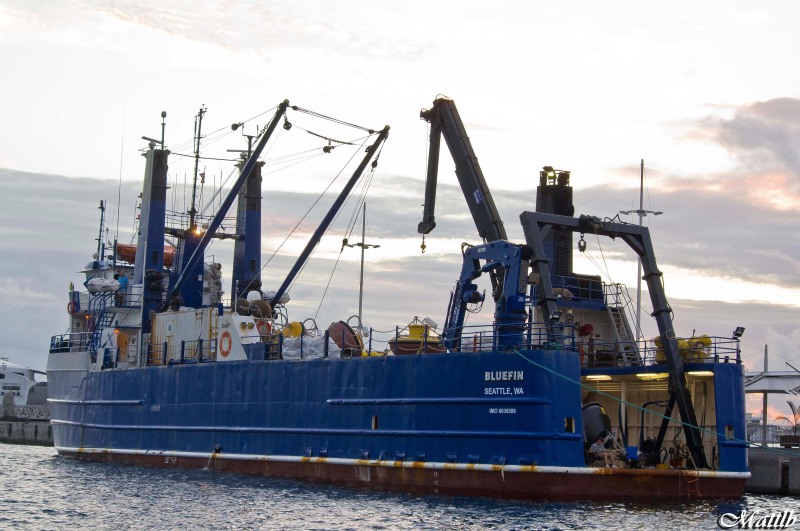
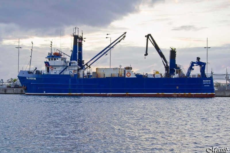
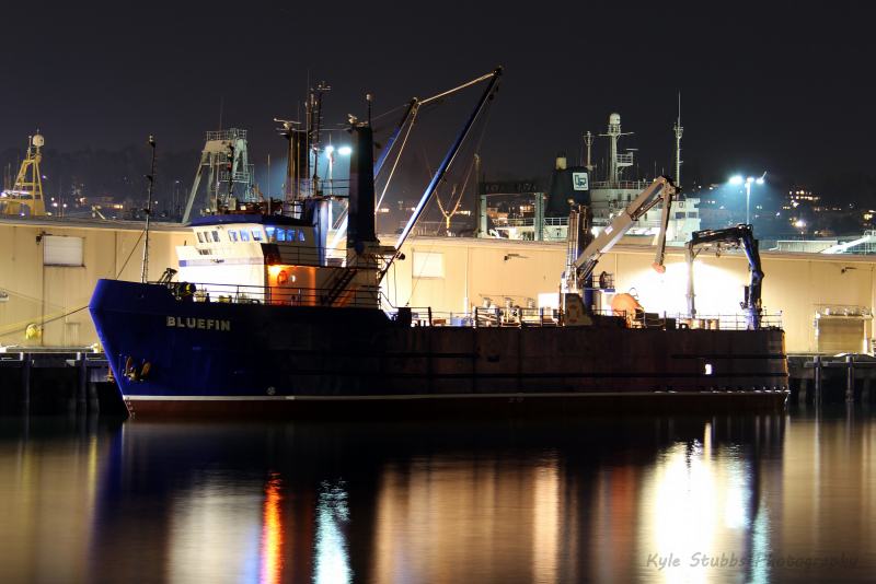
Bluefin - IMO 8036586

Photo
details
Photographer:Steven Collingwood [ View profile ]
Captured:Apr 28, 2016
Title:Bluefin
Location:Hampton Roads, United States
Photo Category:Fishing Vessel Loa 70ft/21m And Over
Added:Apr 29, 2016
Views:516
Image Resolution:3,689 x 1,646
Description:
Going into the Chesapeake Bay past Fort Monroe Hampton VA from the Norfolk/Hampton Roads area. Cloudy and windy day. IMO defines her as a fishing vessel, however she appears to being carry items with "NOAA" titles on them and their is a large NOAA base in Norfolk VA. I wonder if she is doing contract research for them.
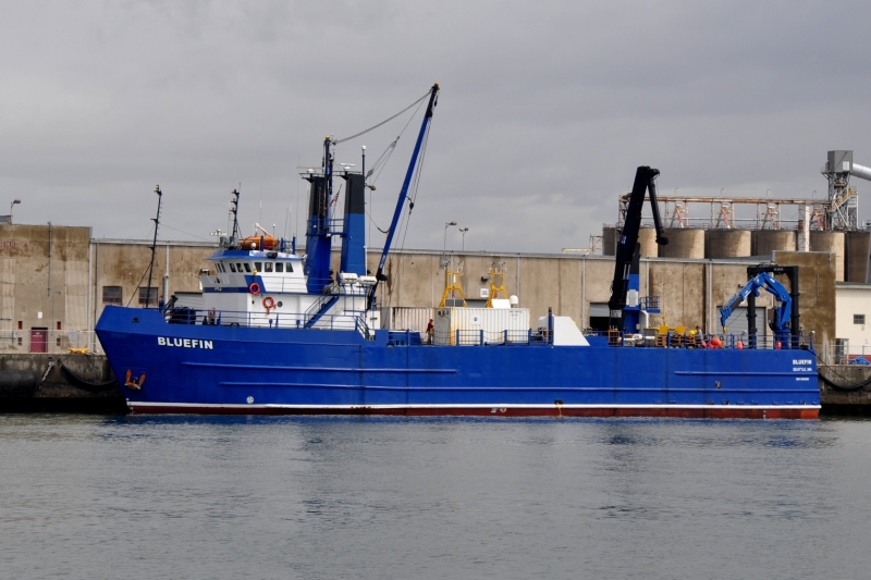
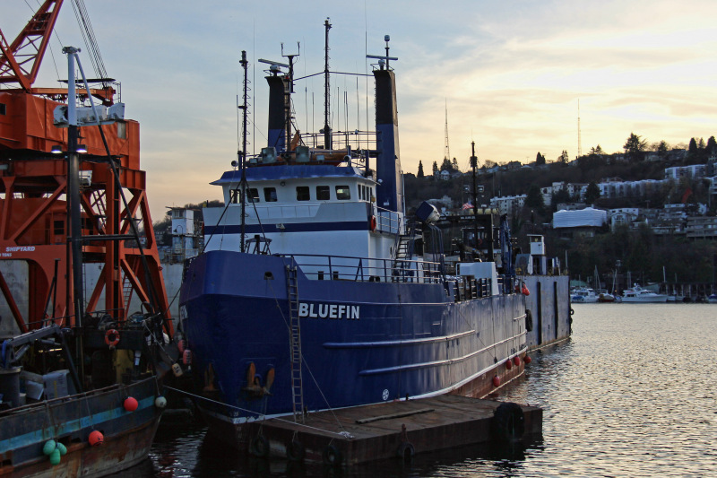
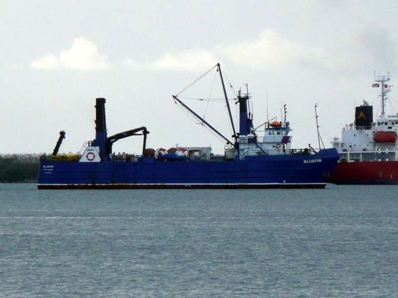
Vessel
particulars
Current flag:U.S.A.
Home port:Seattle Wa
Vessel Type:Fishing Vessel
Gross tonnage:1,080 tons
Length:50 m
Beam:12 m
Draught:3.5 m
Photos:9 photos by 5 photographers
AIS Position
of this ship
Last known position:41°41’8.39” N, 71°12’1.53” W
Status:
Speed, course (heading):10.3kts, 45.1° (40°)
Destination:
- Location: Sc
- Arrival:7th Apr 2024 / 17:00:50 UTC
Last update:about 12 hours ago
Source:AIS (ShipXplorer)
Photo
Categories
This ship exists in the following categories:
Research and Survey Vessels - 1 photos
Fishing vessel loa 70ft/21m and over - 8 photos

COMMENT THIS PHOTO(0)