WELCOME TO SHIPSPOTTING.COM
Fort Fisher - IMO 8645143

Photo
details
Description:
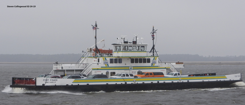
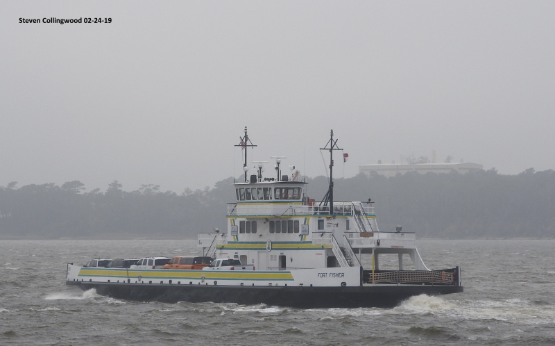
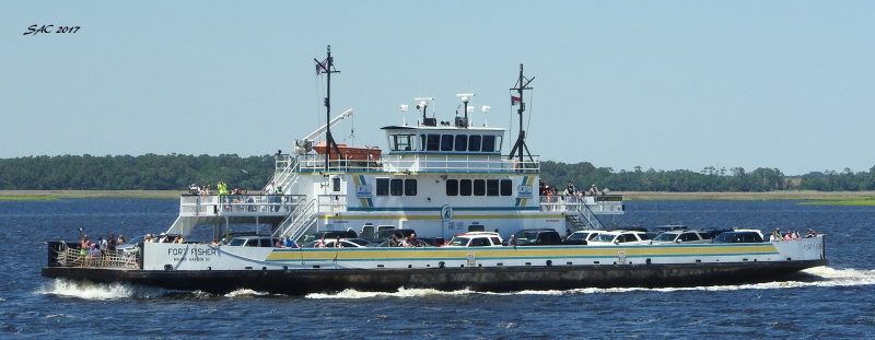
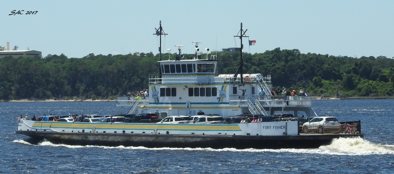
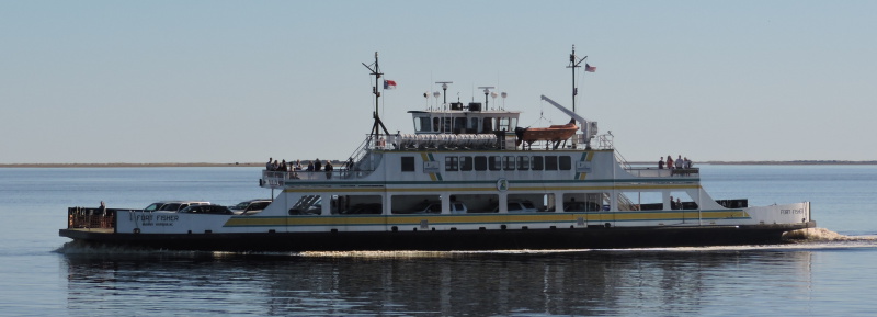
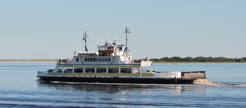
NC DOT (North Carolina Department of Transportation) Ferry on the Cape Fear River below Wilmington NC.
The route here connects Southport NC (Brunswick County) with Fort Fisher/Kure Beach (New Hanover County) along NC 211 and the route probably cuts over an hour off the land connection drive.
The route is $5 per private vehicle, takes 35 minutes over 3.5 miles, and one of the busiest in the system.
The Fort Fisher was built in 2000 and is a considered a "River" Class by the NC DOT.
She has a capacity of up to 40 vehicles and 300 passengers, weighs 374 tons full load, 180 feet long, 44 feet wide, and has a draft of 6 feet.
She is double ended, which prevents her from having to turn around at either end of the route. As all NC DOT ferries do, she carries the colors and symbol of one of the universities in the state. In her case, the UNCW (University of North Carolina at Wilmington) Sea Hawks.
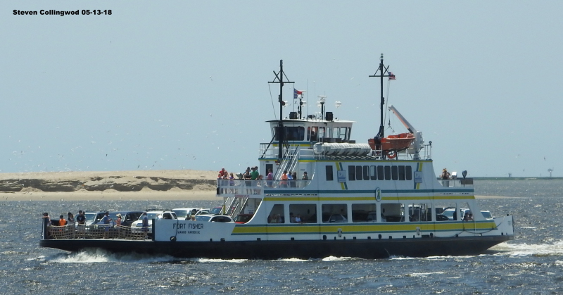
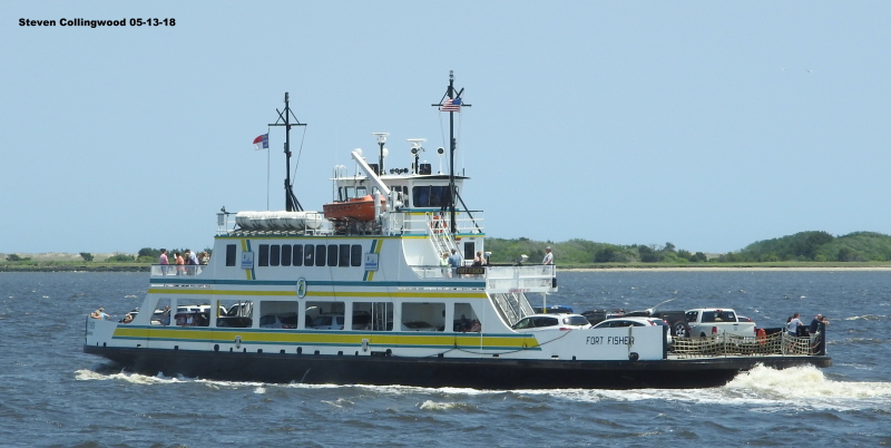
She is seen here on May 13th 2018 passing her sister ferry "Southport" going towards Fort Fisher on the Cape Fear River, while the "Southport" was going towards Southport.
Vessel
particulars
AIS Position
of this ship
There is no AIS Position Data available for this ship!
Would you like to add AIS Coverage?
 Add AIS Coverage
Photo
Categories
This ship exists in the following categories:
Inland Passenger Vessels/Ferries - 13 photos
Photographers
of this ship
(2)
1 photos
12 photos
More of
this ship(12)

COMMENT THIS PHOTO(0)