®
SHIPSPOTTING.COM
WELCOME TO SHIPSPOTTING.COM
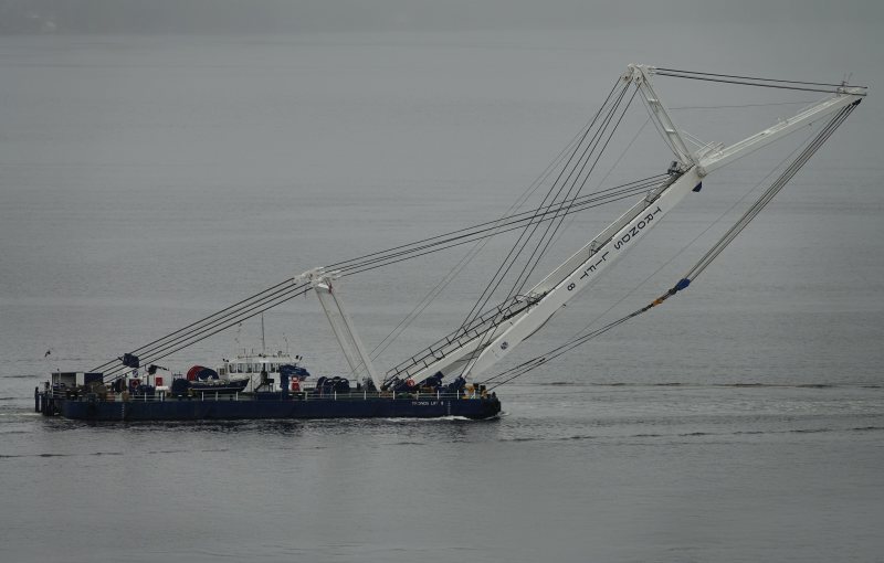
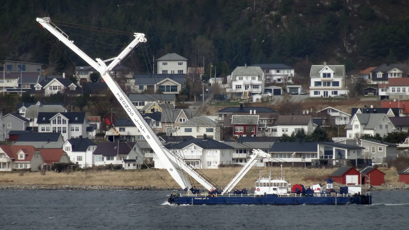
GPS ATLAS - IMO 6725212

Photo
details
Photographer:Wim Kosten / maritimephoto.com [ View profile ]
Title:Gps Atlas
Photo Category:Floating Sheerlegs And Crane Barges/crane Pontoons
Added:Jun 10, 2007
Views:781
Image Resolution:768 x 512
Description:
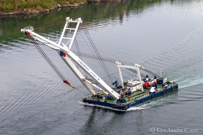
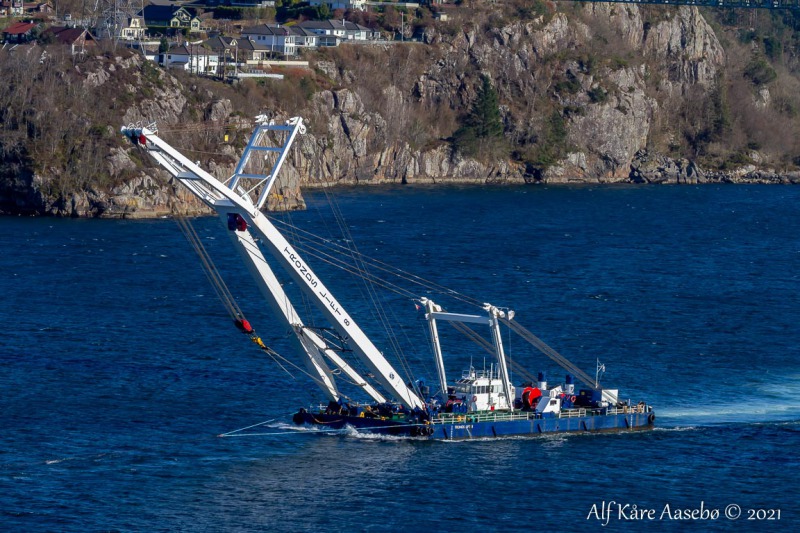
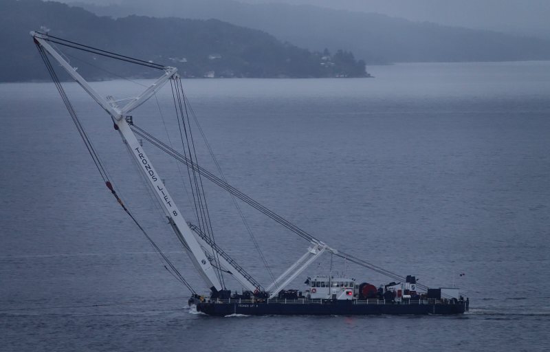
GPS Atlas seen here at sea in tow of GPS tug ALEXANDRA.
Vessel
particulars
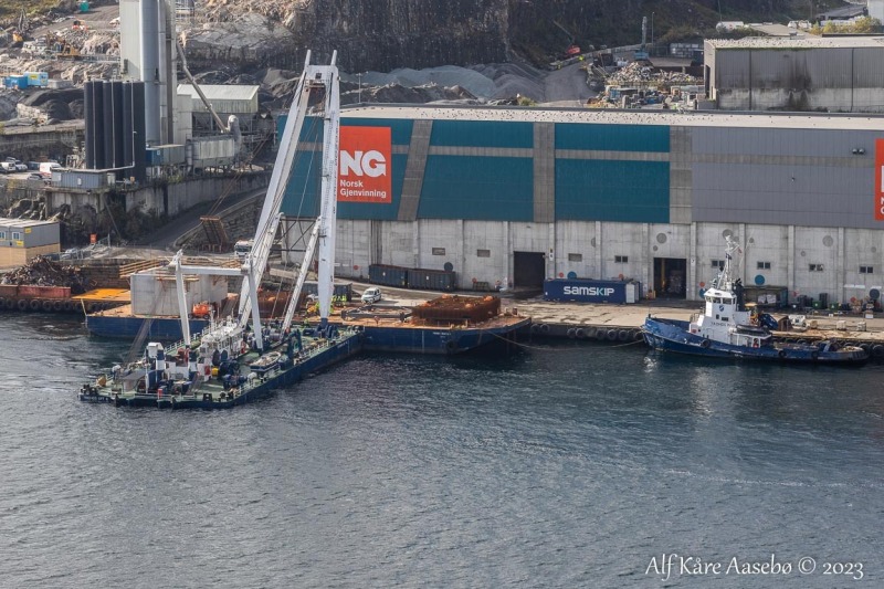
Current name:EIDE LIFT 8
Current flag:Panama
Callsign:HP9272
IMO:6725212
MMSI:351397000
Build year:1967
Builder:Hdw Kiel - Kiel, Germany
Class society:Bureau Veritas
Vessel Type:Floating Crane
Gross tonnage:904 tons
Summer DWT:937 tons
Length:45 m
Beam:20 m
Draught:1.8 m
AIS Position
of this ship
Last known position:59°24’48.96” N, 5°15’55.89” E
Status:
Speed, course (heading):0kts, 279.9°
Destination:
- Location:Haugesund
- Arrival:24th Apr 2024 / 18:32:37 UTC
Last update:9 minutes ago
Source:AIS (ShipXplorer)
Photo
Categories
This ship exists in the following categories:
Floating Sheerlegs and Crane Barges/Crane Pontoons - 31 photos
Tugs with Tow - 1 photos
Photographers
of this ship
(19)
2 photos
1 photos
Wim Kosten / maritimephoto.com
1 photos
3 photos
1 photos
2 photos
1 photos
1 photos
2 photos
1 photos
1 photos
1 photos
3 photos
3 photos
1 photos
2 photos
1 photos
2 photos
3 photos

COMMENT THIS PHOTO(0)