WELCOME TO SHIPSPOTTING.COM
NOAAS Fairweather S220 - IMO 6710920

Photo
details
Description:
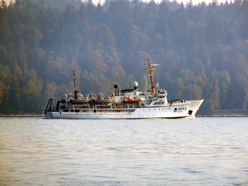
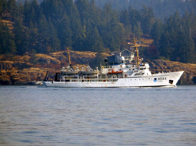
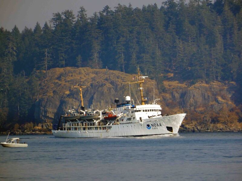
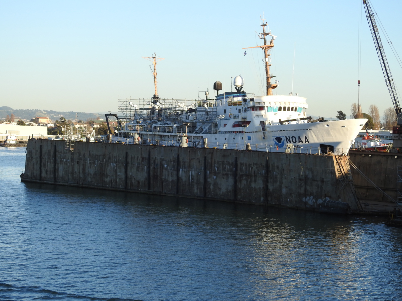
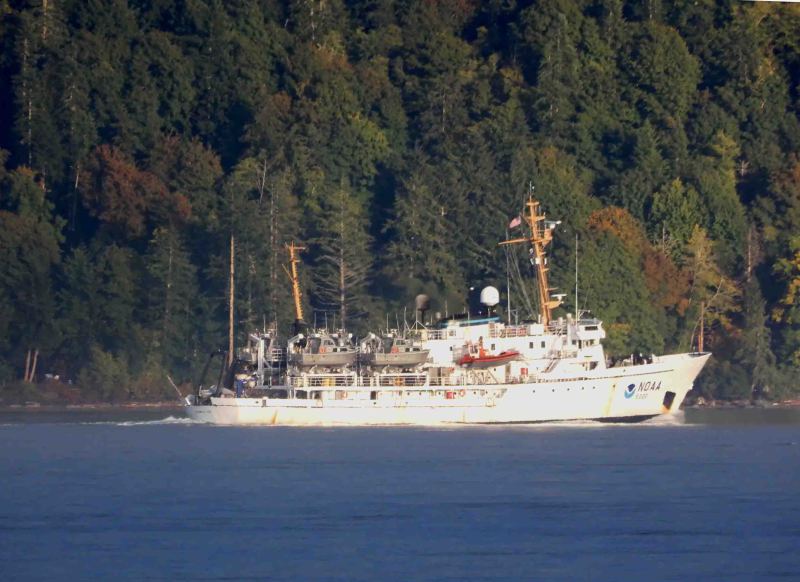
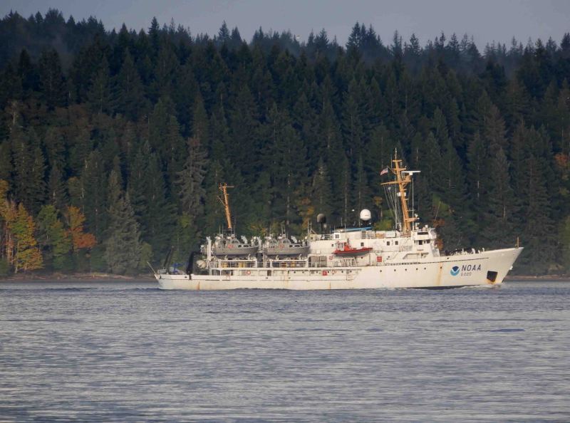
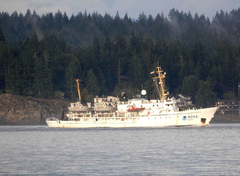
NOAA Ship Fairweather is a hydrographic survey vessel whose primary mission is to map coastal waters to update nautical charts. In addition to supporting marine navigation, Fairweather’s data is also used for marine ecosystem studies, fisheries habitat mapping and ocean research.
The ship’s side scan sonar collects imagery of the sea floor, which can identify obstructions or wrecks that could be navigational hazards, and identify characteristics of interest to biologists and geologists. The sonar emits sounds waves in a swath, which generates a detailed image of objects on the sea floor.
To obtain accurate depth measurements (within 10 centimeters), the ship uses multibeam echo sounders. The bathymetric data can be converted into three-dimensional models to provide extremely accurate depths and detailed images of the sea floor and objects. The ship also has hydrographic survey launches that conduct surveys in shallower water depths the ship cannot access. The launches are fitted with sonar similar to those used by the ship.
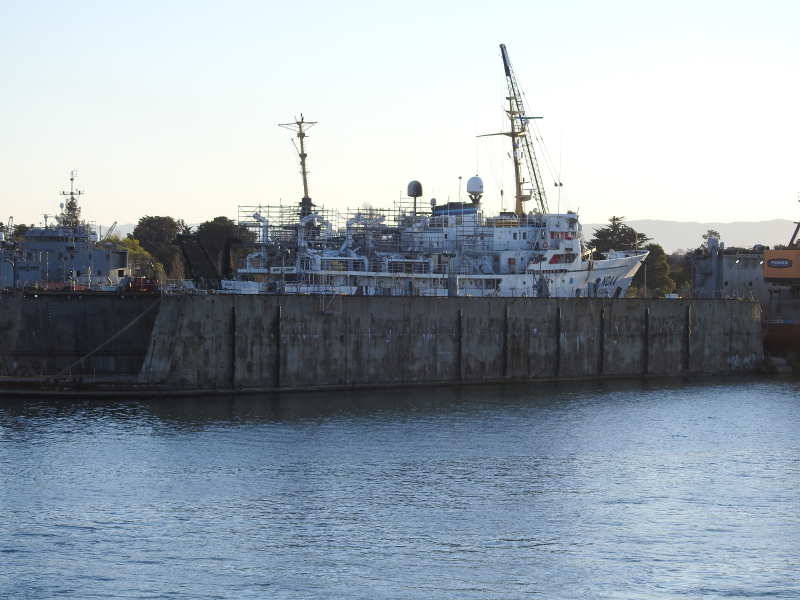
Commissioned in 1968, the 231-ft. ship is named after Mount Fairweather, the tallest peak in the Fairweather Range at 15,300 feet above sea level, located in Alaska’s Glacier Bay National Park and Preserve. Captain Cook named Mount Fairweather in 1778. This hydrographic survey vessel primarily operates in Alaskan coastal waters and is homeported in Ketchikan, Alaska.
Seen here during a port visit at the Tenth Avenue Marine Terminal, Port of San Diego prior to beginning a hydrographic survey project at Santa Cruz Island and the Channel Islands National Marine Sanctuary.
Vessel
particulars
AIS Position
of this ship
Photo
Categories
This ship exists in the following categories:
Research and Survey Vessels - 14 photos
Ships under Repair or Conversion - 2 photos

COMMENT THIS PHOTO(0)