WELCOME TO SHIPSPOTTING.COM
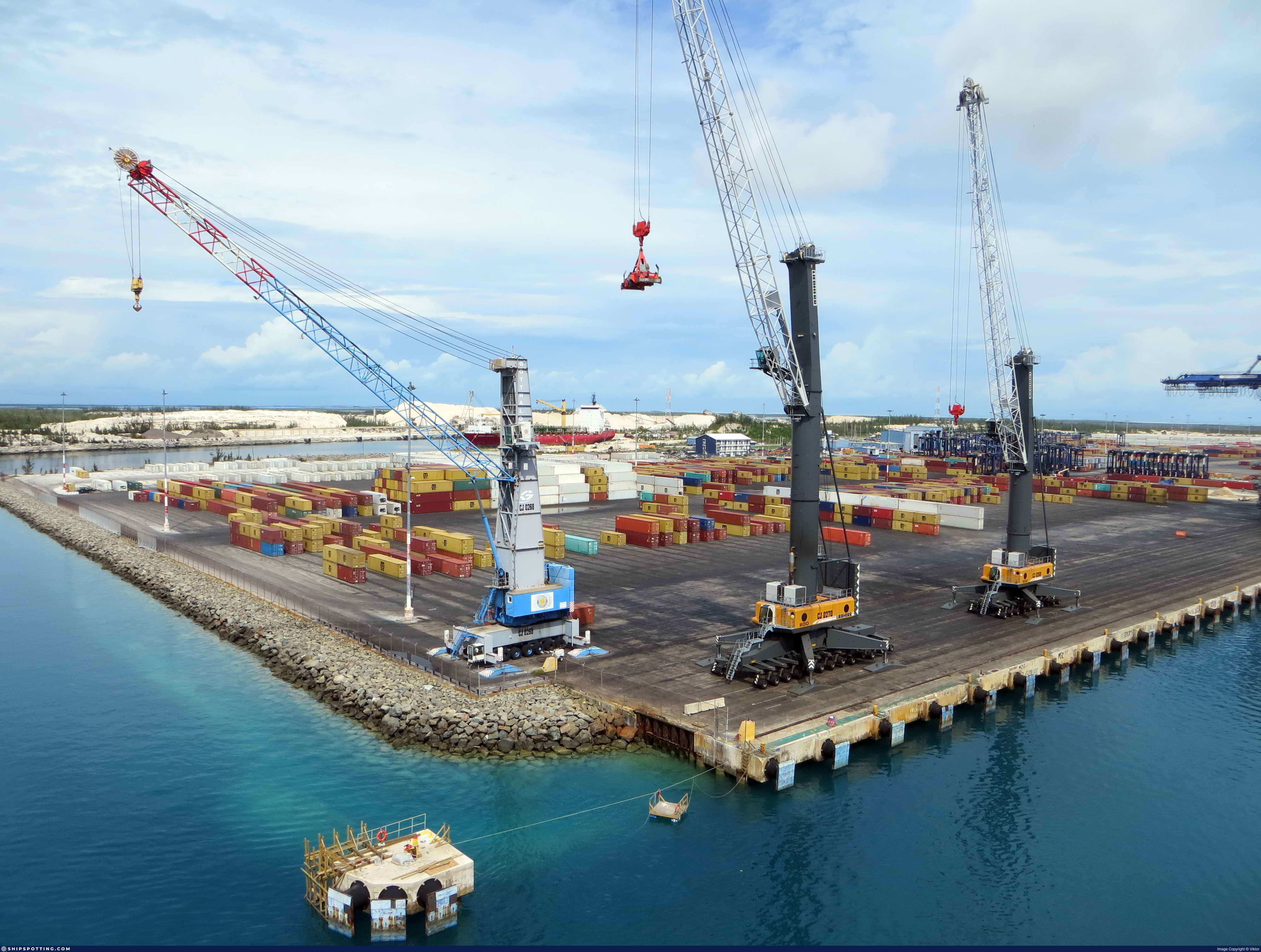
Freeport, BAHAMAS
Photo
details
Description:
FREEPORT is a Medium-sized Port. The types of vessels regularly calling at FREEPORT are Container Ship (40%), Oil/Chemical Tanker (12%), Crude Oil Tanker (10%), Pleasure Craft (5%), Landing Craft (4%). The last vessel called at this port was MSC DON GIOVANNI, 1h and 30m and 19s ago. The maximum length of the vessels recorded to having entered this port is 367 meters. The maximum draught is 15 meters. The maximum Deadweight is 162342t.
FREEPORT is located at Caribbean Sea, Caribbean Sea in Bahamas at coordinates N 26° 31' 29.99" - W 078° 45' 53.99". The official UN/Locode of this port is BSFPO. It is also known as BORCO,FREE PORT.
Vessel
particulars
There is no Ship Data available for this photo!
Would you like to suggest new Ship Data?
Photo
Categories
This ship is not assigned to any other category.


COMMENT THIS PHOTO(0)